

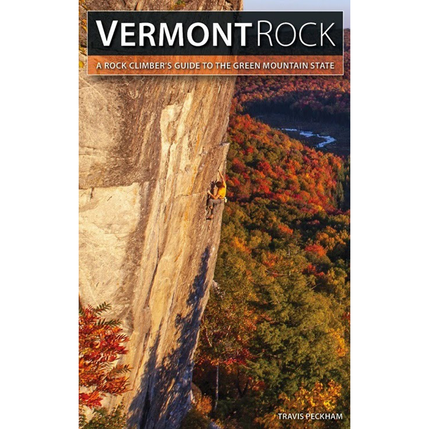
Vermont Rock : A Rock Climber's Guide to the Green Mountain State
Couldn't load pickup availability
Pickup currently unavailable at Chabanel
Description
Long overlooked by New England climbers, Vermont has quietly evolved into one of the best climbing regions in the Northeast. With amazing geological diversity that includes schist, granite, quartzite, and limestone, Vermont Rock showcases an outstanding variety of trad climbing and sport climbing at all levels.
This rebranded 2nd edition of Tough Schist : Rock Climbing in Northern Vermont is the state's definitive guidebook, providing detailed information of the best climbing areas and includes over 500 new routes developed or discovered since the publication of the first edition.
Over 1,000 routes and variations at 30 different crags—including 9 new and 7 significantly expanded areas.
Areas included
Northwest Vermont
- Lower West
- Upper West - Significantly expanded in 2nd edition
- Upper Upper West - Significantly expanded in 2nd edition
- Bolton Quarry
- Carcass Crag
- 82 Crag
- Revolution Crag - New in 2nd edition
- Bone Mountain - Significantly expanded in 2nd edition
- Bolton Dome - New in 2nd edition
- Terra Incognita - New in 2nd edition
- Bog Wall
- Pit Crag
- Thieves' Wall - New in 2nd edition
- Lone Rock Point - New in 2nd edition
North Central Vermont
- Smuggler's Notch - Significantly expanded in 2nd edition
- Prospect Rock
- Butchers' Crags
- Elmore Mountain - New in 2nd edition
Mid Vermont
- Deeper Leap
- Lake Dunmore
- Brandon Gap
- App Gap - New in 2nd edition
Central Vermont
- Marshfield Ledge - Significantly expanded in 2nd edition
- Owl's Head - Significantly expanded in 2nd edition
- Spice Mountain
- Eagle Hollow - New in 2nd edition
- Wheeler Mountain
- Lake Willoughby - Significantly expanded in 2nd edition
- Bald Hill
- Black Mountain - New in 2nd edition
Specifications
Pairs well with
FAQs
How can I track my order?
In order to track your order, use the chat box at the bottom right of your screen. Enter your order informaiton, et voilà !
What is your shipping policy?
Orders over 200$ (before tax) qualify for free shipping within Canada using the Canada Post regular parcel service (3-7 business days). Want it faster? You will have a few different options at checkout ($).
What is your return policy?
*All rope climbing equipment is final sale.*
New and unused items can be returned in their original condition and packaging within 30 days of reception. A return authorisation number can be requested here or by contacting shop@blocshop.com. Bloc Shop does not cover shipping expenses on returns.
Can I place a special order?
You sure can! Looking for something really specific and/or hard to find? Let us know what you have in mind and we will do our best to get it for you. No extra charge!
Can I be notified when a product comes back in stock?
To be notified when a product comes back in stock, head over to the product page and click on the ''Notify me when available'' tab.
Can't see the tab? Please, feel free to send us a message!